
Gijzegem topographic map
Interactive map
Click on the map to display elevation.
About this map
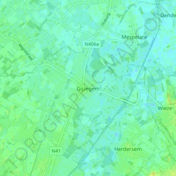
Name: Gijzegem topographic map, elevation, terrain.
Location: Gijzegem, Aalst, Oost-Vlaanderen, Vlaanderen, 9308, België (50.96475 4.03253 51.00475 4.07253)
Average elevation: 6 m
Minimum elevation: 1 m
Maximum elevation: 15 m