
La Paloma topographic map
Interactive map
Click on the map to display elevation.
About this map
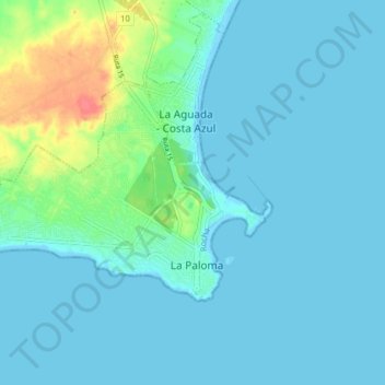
Name: La Paloma topographic map, elevation, terrain.
Location: La Paloma, Rocha, 27001, Uruguay (-34.66934 -54.21833 -34.63218 -54.13963)
Average elevation: 9 m
Minimum elevation: -2 m
Maximum elevation: 56 m