
Playa Parant topographic map
Interactive map
Click on the map to display elevation.
About this map
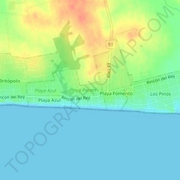
Name: Playa Parant topographic map, elevation, terrain.
Location: Playa Parant, Colonia, 70300, Uruguay (-34.43626 -57.26286 -34.43019 -57.25346)
Average elevation: 15 m
Minimum elevation: 0 m
Maximum elevation: 45 m