
Springdale topographic map
Interactive map
Click on the map to display elevation.
About this map
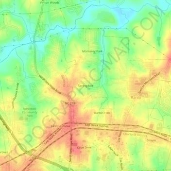
Name: Springdale topographic map, elevation, terrain.
Average elevation: 231 m
Minimum elevation: 196 m
Maximum elevation: 262 m
Other topographic maps
Click on a map to view its topography, its elevation and its terrain.
Mount Holly
United States > North Carolina > Gaston County
Mount Holly, Gaston County, North Carolina, 28120, United States
Average elevation: 208 m