
Sutera topographic map
Interactive map
Click on the map to display elevation.
About this map
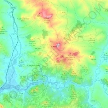
Name: Sutera topographic map, elevation, terrain.
Location: Sutera, Caltanissetta, Sicily, 93010, Italy (37.47722 13.68726 37.56152 13.78796)
Average elevation: 324 m
Minimum elevation: 132 m
Maximum elevation: 790 m