
Thank you for supporting this site ❤️
Make a donation
Make a donation
Gear up for your next adventure:
As an Amazon Associate, this site earns from qualifying purchases at no extra cost to you.
Carugate topographic map
Click on the map to display elevation.
Thank you for supporting this site ❤️
Make a donation
Make a donation
Gear up for your next adventure:
📣High-Decibel Survival Whistles - Signaling tool for rescue that carries much further than a human voice
As an Amazon Associate, this site earns from qualifying purchases at no extra cost to you.
About this map
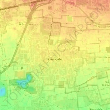
Name: Carugate topographic map, elevation, terrain.
Location: Carugate, Milan, Lombardy, 20061, Italy (45.53983 9.32171 45.56203 9.36655)
Average elevation: 149 m
Minimum elevation: 119 m
Maximum elevation: 163 m
Thank you for supporting this site ❤️
Make a donation
Make a donation
Gear up for your next adventure:
As an Amazon Associate, this site earns from qualifying purchases at no extra cost to you.