Geolocate

Holbox topographic map

Click on the map to display elevation.

About this map

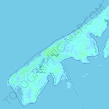
Name: Holbox topographic map, elevation, terrain.

Location: Holbox, Lázaro Cárdenas, Quintana Roo, 77531, Mexico (21.50213 -87.39831 21.54213 -87.35831)

Average elevation: 0 m

Minimum elevation: -2 m

Maximum elevation: 7 m

Gear up for your next adventure:

Ultralight Solo Tents - Compact shelters for multi-day topographic surveying expeditions
🧺Fast-Dry Microfiber Towels - Large towels that pack down to the size of an orange
🍳Camping Cookware - Cookware sets for outdoor meals
🕶️Polarized Sunglasses - UV protection sunglasses for outdoors
🔥Ferrocerium Rod Fire Starters - Reliable fire lighting in wet or windy conditions without matches

As an Amazon Associate, this site earns from qualifying purchases at no extra cost to you.