
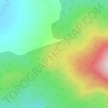
Black Spur topographic map
Interactive map
Click on the map to display elevation.
About this map
Name: Black Spur topographic map, elevation, terrain.
Location: Black Spur, Franklin County, Maine, United States (45.10780 -70.66854 45.10790 -70.66844)
Average elevation: 756 m
Minimum elevation: 588 m
Maximum elevation: 1,064 m