
Llanddewi Brefi topographic map
Interactive map
Click on the map to display elevation.
About this map
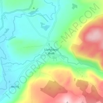
Name: Llanddewi Brefi topographic map, elevation, terrain.
Location: Llanddewi Brefi, Ceredigion, Wales, SY25 6RS, United Kingdom (52.15979 -3.97743 52.19979 -3.93743)
Average elevation: 241 m
Minimum elevation: 134 m
Maximum elevation: 457 m