
Thank you for supporting this site ❤️
Make a donation
Make a donation
Gear up for your next adventure:
As an Amazon Associate, this site earns from qualifying purchases at no extra cost to you.
Maravanji topographic map
Click on the map to display elevation.
Thank you for supporting this site ❤️
Make a donation
Make a donation
Gear up for your next adventure:
As an Amazon Associate, this site earns from qualifying purchases at no extra cost to you.
About this map
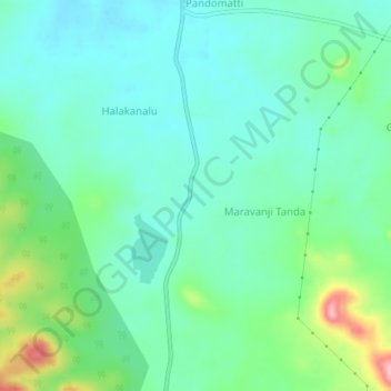
Name: Maravanji topographic map, elevation, terrain.
Location: Maravanji, Channagiri taluku, Davanagere, Karnataka, India (13.92650 75.95451 13.96650 75.99451)
Average elevation: 748 m
Minimum elevation: 711 m
Maximum elevation: 858 m
Thank you for supporting this site ❤️
Make a donation
Make a donation
Gear up for your next adventure:
As an Amazon Associate, this site earns from qualifying purchases at no extra cost to you.