
Loureiro topographic map
Interactive map
Click on the map to display elevation.
About this map
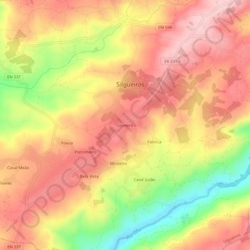
Name: Loureiro topographic map, elevation, terrain.
Location: Loureiro, Silgueiros, Viseu, 3460-391, Portugal (40.54386 -7.97648 40.58386 -7.93648)
Average elevation: 320 m
Minimum elevation: 186 m
Maximum elevation: 404 m