
Obala topographic map
Interactive map
Click on the map to display elevation.
About this map
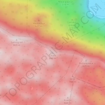
Name: Obala topographic map, elevation, terrain.
Location: Obala, Zaostrog, Općina Gradac, 21276, Croatie (43.16399 17.33817 43.16409 17.33827)
Average elevation: 608 m
Minimum elevation: 22 m
Maximum elevation: 859 m