
Saint-Nicolas topographic map
Interactive map
Click on the map to display elevation.
About this map
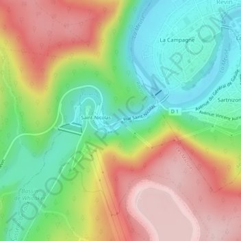
Name: Saint-Nicolas topographic map, elevation, terrain.
Average elevation: 247 m
Minimum elevation: 118 m
Maximum elevation: 404 m
Other topographic maps
Click on a map to view its topography, its elevation and its terrain.
Le Grand Hongreaux
France > Grand Est > Ardennes > Rocroi
Le Grand Hongreaux, Rocroi, Charleville-Mézières, Ardennes, Grand Est, France métropolitaine, 08230, France
Average elevation: 362 m
Saint-Nicolas
France > Grand Est > Ardennes > Rocroi > Saint-Nicolas
Saint-Nicolas, Rocroi, Charleville-Mézières, Ardennes, Grand Est, France métropolitaine, 08230, France
Average elevation: 256 m