
Lubaba topographic map
Interactive map
Click on the map to display elevation.
About this map
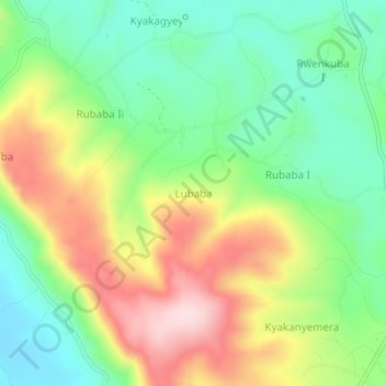
Name: Lubaba topographic map, elevation, terrain.
Location: Lubaba, Kamwenge, Western Region, Uganda (0.28000 30.41333 0.32000 30.45333)
Average elevation: 1,310 m
Minimum elevation: 1,177 m
Maximum elevation: 1,507 m