
La Loma topographic map
Interactive map
Click on the map to display elevation.
About this map
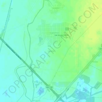
Name: La Loma topographic map, elevation, terrain.
Location: La Loma, Angostura, Sinaloa, México (25.40381 -108.13152 25.40669 -108.12857)
Average elevation: 36 m
Minimum elevation: 27 m
Maximum elevation: 47 m