
Molen topographic map
Interactive map
Click on the map to display elevation.
About this map
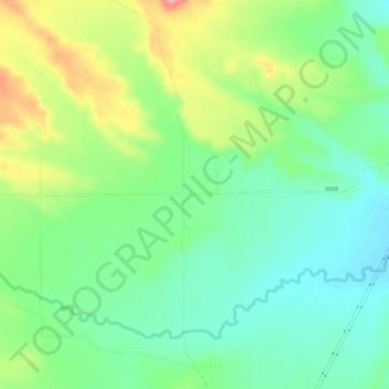
Name: Molen topographic map, elevation, terrain.
Location: Molen, Emery County, Utah, 84516, VS (39.06831 -111.09350 39.10831 -111.05350)
Average elevation: 1,764 m
Minimum elevation: 1,726 m
Maximum elevation: 1,834 m