
Hydro Maya Dam topographic map
Interactive map
Click on the map to display elevation.
About this map
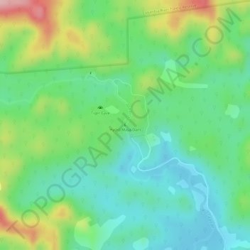
Name: Hydro Maya Dam topographic map, elevation, terrain.
Location: Hydro Maya Dam, Toledo District, Belize (16.31991 -88.93571 16.32005 -88.93561)
Average elevation: 75 m
Minimum elevation: 11 m
Maximum elevation: 191 m