
Borale topographic map
Interactive map
Click on the map to display elevation.
About this map
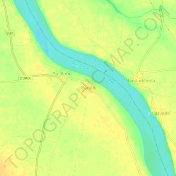
Name: Borale topographic map, elevation, terrain.
Location: Borale, Nandubar, Maharashtra, 425422, Indien (21.45642 74.35479 21.49642 74.39479)
Average elevation: 118 m
Minimum elevation: 101 m
Maximum elevation: 128 m