
Hilary topographic map
Interactive map
Click on the map to display elevation.
About this map
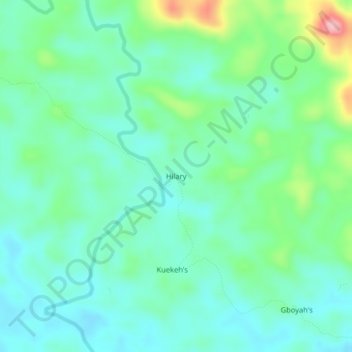
Name: Hilary topographic map, elevation, terrain.
Location: Hilary, District # 2, Grand Bassa County, Liberia (6.40443 -9.76791 6.44443 -9.72791)
Average elevation: 161 m
Minimum elevation: 121 m
Maximum elevation: 284 m