
Mount Kawi topographic map
Interactive map
Click on the map to display elevation.
About this map
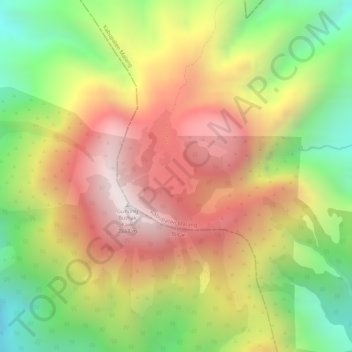
Name: Mount Kawi topographic map, elevation, terrain.
Location: Mount Kawi, Malang, East Java, Indonesia (-7.95319 112.46890 -7.95309 112.46900)
Average elevation: 2,455 m
Minimum elevation: 2,009 m
Maximum elevation: 2,837 m
Other topographic maps
Click on a map to view its topography, its elevation and its terrain.