
Allendale topographic map
Interactive map
Click on the map to display elevation.
About this map
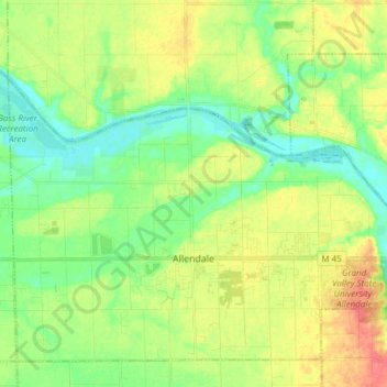
Name: Allendale topographic map, elevation, terrain.
Location: Allendale, Ottawa County, Michigan, 49401, VS (42.95759 -86.02650 43.02391 -85.87491)
Average elevation: 195 m
Minimum elevation: 175 m
Maximum elevation: 222 m