
Long Ridge topographic map
Interactive map
Click on the map to display elevation.
About this map
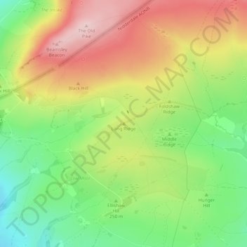
Name: Long Ridge topographic map, elevation, terrain.
Average elevation: 266 m
Minimum elevation: 150 m
Maximum elevation: 395 m
Other topographic maps
Click on a map to view its topography, its elevation and its terrain.
Ripon
United Kingdom > England > Harrogate
Ripon, Harrogate, North Yorkshire, Yorkshire and the Humber, England, United Kingdom
Average elevation: 50 m