
Berus topographic map
Interactive map
Click on the map to display elevation.
About this map
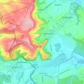
Name: Berus topographic map, elevation, terrain.
Location: Berus, Überherrn, Landkreis Saarlouis, Sarre, Allemagne (49.25080 6.66009 49.28502 6.75586)
Average elevation: 250 m
Minimum elevation: 187 m
Maximum elevation: 378 m