
Itterbeek topographic map
Interactive map
Click on the map to display elevation.
About this map
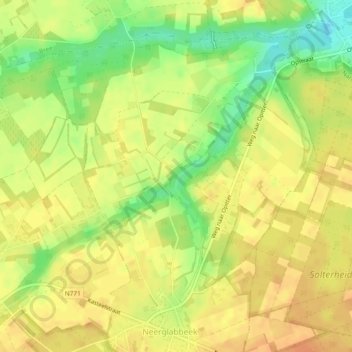
Name: Itterbeek topographic map, elevation, terrain.
Location: Itterbeek, Oudsbergen, Limburg, Vlaanderen, 3960, België (51.09002 5.59095 51.11495 5.63821)
Average elevation: 65 m
Minimum elevation: 40 m
Maximum elevation: 78 m