
涩聂湖 topographic map
Interactive map
Click on the map to display elevation.
About this map
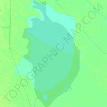
Name: 涩聂湖 topographic map, elevation, terrain.
Location: 涩聂湖, 察尔汗行政委员会, 格尔木市, 海西蒙古族藏族自治州, 青海省, 中国 (36.97642 94.25782 37.13513 94.36492)
Average elevation: 2,681 m
Minimum elevation: 2,676 m
Maximum elevation: 2,685 m
Other topographic maps
Click on a map to view its topography, its elevation and its terrain.