
Rubanda topographic map
Interactive map
Click on the map to display elevation.
About this map
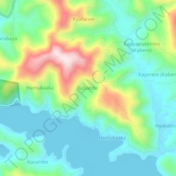
Name: Rubanda topographic map, elevation, terrain.
Location: Rubanda, Kabale, Western Region, Uganda (-1.23222 29.84278 -1.19222 29.88278)
Average elevation: 2,080 m
Minimum elevation: 1,942 m
Maximum elevation: 2,417 m