
Thank you for supporting this site ❤️
Make a donation
Make a donation
Gear up for your next adventure:
As an Amazon Associate, this site earns from qualifying purchases at no extra cost to you.
Chichen-Itza topographic map
Click on the map to display elevation.
Thank you for supporting this site ❤️
Make a donation
Make a donation
Gear up for your next adventure:
As an Amazon Associate, this site earns from qualifying purchases at no extra cost to you.
About this map
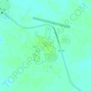
Name: Chichen-Itza topographic map, elevation, terrain.
Location: Chichen-Itza, San Felipe Nuevo, Tinum, Yucatán, Mexico (20.67734 -88.57244 20.68847 -88.56540)
Average elevation: 27 m
Minimum elevation: 22 m
Maximum elevation: 33 m
Thank you for supporting this site ❤️
Make a donation
Make a donation
Gear up for your next adventure:
As an Amazon Associate, this site earns from qualifying purchases at no extra cost to you.