
Mangole Island topographic map
Interactive map
Click on the map to display elevation.
About this map
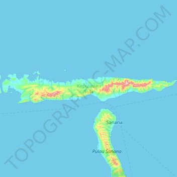
Name: Mangole Island topographic map, elevation, terrain.
Location: Mangole Island, Sula Islands, North Maluku, Indonesia (-1.95028 125.32772 -1.77491 126.35327)
Average elevation: 23 m
Minimum elevation: 0 m
Maximum elevation: 1,073 m