
Le Grand Chemin topographic map
Interactive map
Click on the map to display elevation.
About this map
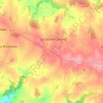
Name: Le Grand Chemin topographic map, elevation, terrain.
Average elevation: 168 m
Minimum elevation: 60 m
Maximum elevation: 230 m
Other topographic maps
Click on a map to view its topography, its elevation and its terrain.
Le Frechot
France > Normandie > Manche > Le Grand-Celland
Le Frechot, Le Grand-Celland, Avranches, Manche, Normandie, France métropolitaine, 50370, France
Average elevation: 177 m