

Stutensee topographic map
Click on the map to display elevation.
Stutensee
The city is situated between Karlsruhe and Bruchsal in the Upper Rhine region and its altitude is 114 m (374 ft).
About this map
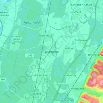
Name: Stutensee topographic map, elevation, terrain.
Average elevation: 118 m
Minimum elevation: 95 m
Maximum elevation: 262 m
Other topographic maps
Click on a map to view its topography, its elevation and its terrain.
Dettenheim (Baden)
Germany > Baden-Württemberg > Landkreis Karlsruhe > Dettenheim
Average elevation: 100 m