
Río Tiquié topographic map
Interactive map
Click on the map to display elevation.
About this map
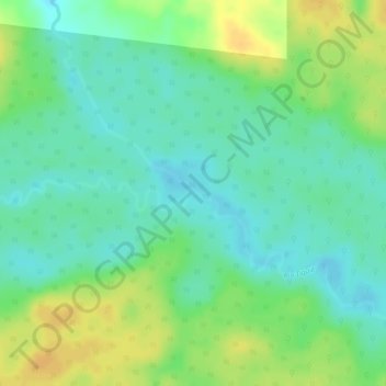
Name: Río Tiquié topographic map, elevation, terrain.
Location: Río Tiquié, Mitú, Vaupés, Colômbia (0.24708 -70.11930 0.24759 -70.11875)
Average elevation: 150 m
Minimum elevation: 136 m
Maximum elevation: 166 m
Other topographic maps
Click on a map to view its topography, its elevation and its terrain.