
ヤラー topographic map
Interactive map
Click on the map to display elevation.
About this map
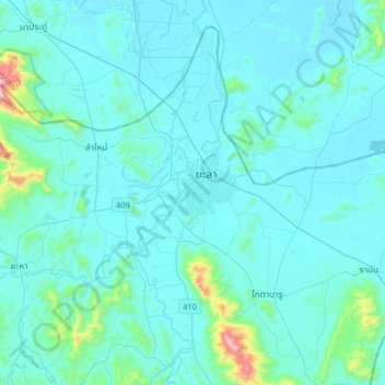
Name: ヤラー topographic map, elevation, terrain.
Location: ヤラー, สะเตงนอก, ヤラー県, 95000, タイ王国 (6.39672 101.13025 6.71672 101.45025)
Average elevation: 60 m
Minimum elevation: 2 m
Maximum elevation: 788 m