Geolocate

Great Inagua topographic map

Click on the map to display elevation.

About this map
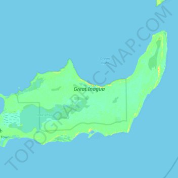
Name: Great Inagua topographic map, elevation, terrain.

Location: Great Inagua, The Bahamas (20.91305 -73.70220 21.33796 -73.00789)

Average elevation: 1 m

Minimum elevation: 0 m

Maximum elevation: 31 m

Other topographic maps

Click on a map to view its topography, its elevation and its terrain.

Great Abaco

The Bahamas > Central Abaco

Average elevation: 2 m

Gear up for your next adventure:

⌚GPS Watches - GPS watches for outdoor sports
🦶Orthotic Hiking Insoles - Extra arch support for long-distance topographic treks
📡Portable Emergency Radios - Stay informed about weather warnings and bushfire alerts
📍Handheld GPS - GPS devices for hiking and navigation
🧊Insulated Cooler Bags - Keep food fresh for day trips to remote geographic sites

As an Amazon Associate, this site earns from qualifying purchases at no extra cost to you.