Geolocate

Alapuzha topographic map

Click on the map to display elevation.

About this map
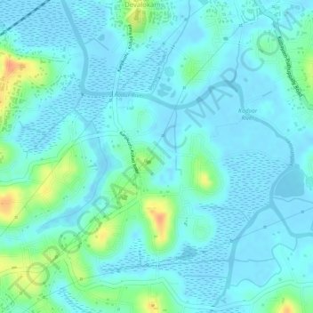
Name: Alapuzha topographic map, elevation, terrain.

Location: Alapuzha, Devalokam, Kottayam, Kerala, India (9.55831 76.53808 9.57082 76.55035)

Average elevation: 10 m

Minimum elevation: -5 m

Maximum elevation: 45 m

Gear up for your next adventure:

🚁Camera Drones with GPS - Capture aerial views of the landscape to compare with topo maps
👣Snake & Scrub Gaiters - Protection against spinifex, mud, and snakes while walking off-track
🧳Outdoor Travel Organizers - Gear organization accessories
🥤Outdoor Water Bottles - Reusable bottles for outdoor activities
🪫Rechargeable Headlamps - USB rechargeable headlamps

As an Amazon Associate, this site earns from qualifying purchases at no extra cost to you.