
Red Rocks topographic map
Click on the map to display elevation.
About this map
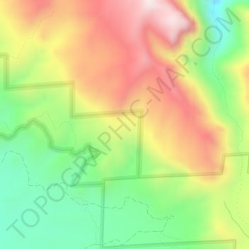
Name: Red Rocks topographic map, elevation, terrain.
Location: Red Rocks, Montrose County, Colorado, United States (38.57476 -107.80388 38.57486 -107.80378)
Average elevation: 2,069 m
Minimum elevation: 1,795 m
Maximum elevation: 2,374 m
Other topographic maps
Click on a map to view its topography, its elevation and its terrain.
Black Canyon of the Gunnison National Park
United States > Colorado > Montrose County
Average elevation: 2,225 m
Black Canyon of the Gunnison Wilderness
United States > Colorado > Montrose County
Average elevation: 2,163 m
Black Canyon of the Gunnison National Park
United States > Colorado > Montrose County
Average elevation: 2,225 m