
Aladrén topographic map
Interactive map
Click on the map to display elevation.
About this map
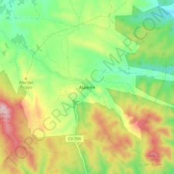
Name: Aladrén topographic map, elevation, terrain.
Location: Aladrén, Campo de Cariñena, Zaragoza, Aragón, España (41.22600 -1.19662 41.27238 -1.12148)
Average elevation: 825 m
Minimum elevation: 658 m
Maximum elevation: 1,062 m