
Old City topographic map
Interactive map
Click on the map to display elevation.
About this map
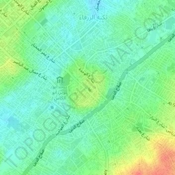
Name: Old City topographic map, elevation, terrain.
Location: Old City, Gaza Governorate, Gaza Strip, Palestinian Territory (31.49993 34.45862 31.50899 34.47102)
Average elevation: 39 m
Minimum elevation: 22 m
Maximum elevation: 74 m
Other topographic maps
Click on a map to view its topography, its elevation and its terrain.