
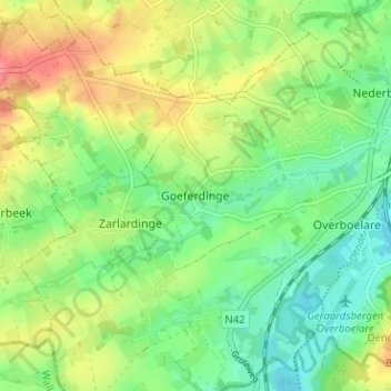
Goeferdinge topographic map
Interactive map
Click on the map to display elevation.
About this map
Name: Goeferdinge topographic map, elevation, terrain.
Location: Goeferdinge, Aalst, Oost-Vlaanderen, Vlaanderen, 9500, België (50.74540 3.81925 50.78540 3.85925)
Average elevation: 39 m
Minimum elevation: 10 m
Maximum elevation: 80 m