
South Fork topographic map
Interactive map
Click on the map to display elevation.
About this map
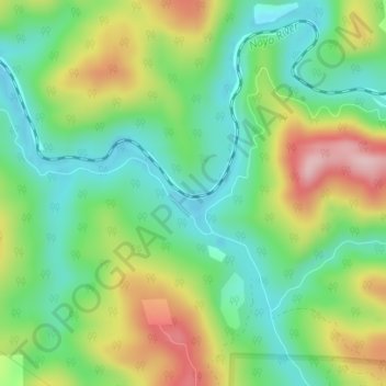
Name: South Fork topographic map, elevation, terrain.
Location: South Fork, Mendocino County, Californië, 95437, VS (39.40600 -123.74724 39.44600 -123.70724)
Average elevation: 119 m
Minimum elevation: 9 m
Maximum elevation: 275 m