
Chervonohrad topographic map
Interactive map
Click on the map to display elevation.
About this map
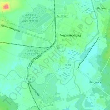
Name: Chervonohrad topographic map, elevation, terrain.
Location: Chervonohrad, Chervonohrad City Council, Lviv Oblast, Ukraine (50.36079 24.18851 50.40958 24.25952)
Average elevation: 193 m
Minimum elevation: 179 m
Maximum elevation: 239 m