
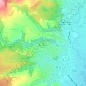
Bornberg topographic map
Interactive map
Click on the map to display elevation.
About this map
Name: Bornberg topographic map, elevation, terrain.
Average elevation: 250 m
Minimum elevation: 208 m
Maximum elevation: 343 m
Other topographic maps
Click on a map to view its topography, its elevation and its terrain.
Hüttersdorf
Deutschland > Saarland > Landkreis Saarlouis > Schmelz
Hüttersdorf, Schmelz, Landkreis Saarlouis, Saarland, Deutschland
Average elevation: 268 m