
Olvera topographic map
Interactive map
Click on the map to display elevation.
About this map
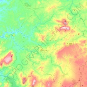
Name: Olvera topographic map, elevation, terrain.
Location: Olvera, Sierra de Cádiz, Cádiz, Andalusien, 11690, Spanien (36.86964 -5.41680 37.03736 -5.09569)
Average elevation: 519 m
Minimum elevation: 213 m
Maximum elevation: 1,117 m