
Tikorangi topographic map
Interactive map
Click on the map to display elevation.
About this map
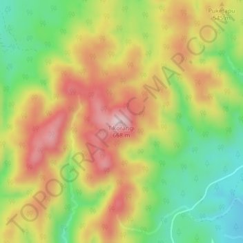
Name: Tikorangi topographic map, elevation, terrain.
Location: Tikorangi, Whakatāne District, Bay of Plenty, New Zealand (-38.58508 176.72982 -38.58498 176.72992)
Average elevation: 484 m
Minimum elevation: 330 m
Maximum elevation: 642 m