
San Jacinto topographic map
Interactive map
Click on the map to display elevation.
About this map
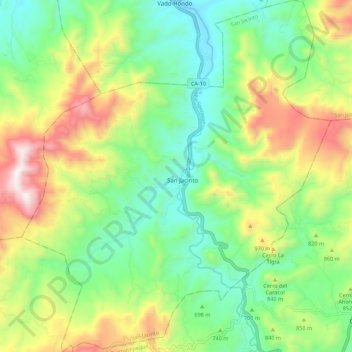
Name: San Jacinto topographic map, elevation, terrain.
Location: San Jacinto, Chiquimula, Guatemala (14.62498 -89.55314 14.73172 -89.45620)
Average elevation: 781 m
Minimum elevation: 418 m
Maximum elevation: 1,422 m