
Moulton topographic map
Interactive map
Click on the map to display elevation.
About this map
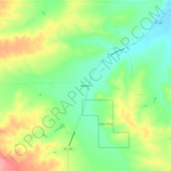
Name: Moulton topographic map, elevation, terrain.
Location: Moulton, Fergus County, Montana, VS (47.32581 -109.37462 47.36581 -109.33462)
Average elevation: 1,149 m
Minimum elevation: 1,105 m
Maximum elevation: 1,212 m