
Stewart Creek topographic map
Interactive map
Click on the map to display elevation.
About this map
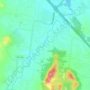
Name: Stewart Creek topographic map, elevation, terrain.
Average elevation: 182 m
Minimum elevation: 158 m
Maximum elevation: 278 m
Other topographic maps
Click on a map to view its topography, its elevation and its terrain.
Quail Run
United States > Tennessee > Rutherford County > Murfreesboro > Quail Run
Quail Run, Murfreesboro, Rutherford County, Tennessee, 37130, United States
Average elevation: 184 m