
Fraueninsel topographic map
Interactive map
Click on the map to display elevation.
About this map
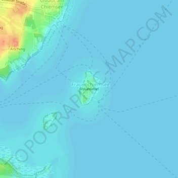
Name: Fraueninsel topographic map, elevation, terrain.
Average elevation: 518 m
Minimum elevation: 515 m
Maximum elevation: 556 m
Other topographic maps
Click on a map to view its topography, its elevation and its terrain.
Chiemsee
Deutschland > Bayern > Landkreis Traunstein > Chiemsee
Chiemsee, Breitbrunn am Chiemsee (VGem), Landkreis Traunstein, Bayern, Deutschland
Average elevation: 527 m