

Fall City topographic map
Click on the map to display elevation.
Fall City
The Fall City Airport is a small private airport community located 2 miles (3 km) east of the community at latitude 47-33-34.366 N and longitude 121-51-49.413 W, at an elevation of 140 feet (43 m) above sea level. The airport is owned by the Fall City Airport Association. It has no air traffic control tower.[8]
About this map
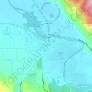
Name: Fall City topographic map, elevation, terrain.
Location: Fall City, King County, Washington, 98024, United States (47.55409 -121.92178 47.57775 -121.88330)
Average elevation: 48 m
Minimum elevation: 20 m
Maximum elevation: 230 m