
Forest Row topographic map
Interactive map
Click on the map to display elevation.
About this map
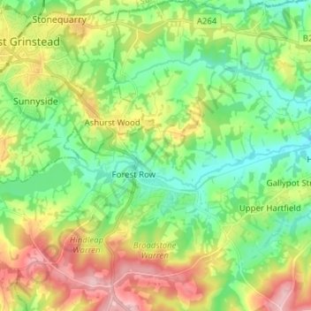
Name: Forest Row topographic map, elevation, terrain.
Location: Forest Row, Wealden, East Sussex, Engeland, Verenigd Koninkrijk (51.06351 -0.03624 51.14265 0.07476)
Average elevation: 104 m
Minimum elevation: 45 m
Maximum elevation: 205 m