
Saint-Martin-de-Belleville topographic map
Interactive map
Click on the map to display elevation.
About this map
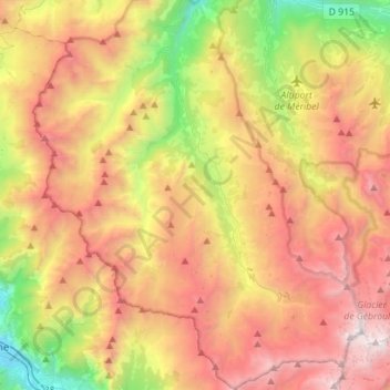
Name: Saint-Martin-de-Belleville topographic map, elevation, terrain.
Average elevation: 1,989 m
Minimum elevation: 521 m
Maximum elevation: 3,533 m